·
🇨🇦
Canada live webcams
139 cams
Top categories in Canada
Top cameras in Canada


Popular cameras
 Live
LiveGarbage Dump Transfer Station Educational Cam Earth Bravest Workers Learn To Waste Less
CA
 Live
LiveTrains Railcam, Ingersoll, Ontario (OSR CAM)
CA
 Live
LiveRMWB River Camera
CA
 Live
LiveAxis V5925
CA
 Live
LiveNASA Live Stream of Earth from Space (ISS)
CA
 Live
LiveTown of Collingwood
CA
 Live
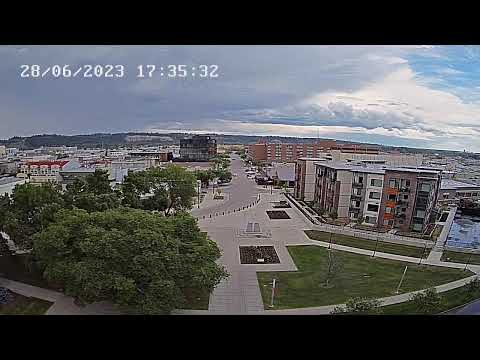
LiveOttawa
CA
 Live
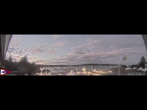
LiveBlock House Island
CA
 Live
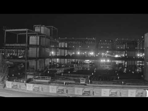
LiveDelta Intelligent Building Technologies & Delta Controls New Building Construction
CA
 Live
LiveISS Live: 24/7 Views of Earth & Station To Ground Comms
CA
 Live
LiveLiquor Store Security Camera
CA
 Live
LiveMain Street Livecam, Canmore, Alberta
CA
 Live
LiveMontreal Trudeau Airport CYUL 24/7 Webcam Runway 24R
CA
About webcams in Canada
Canada’s public webcams cluster where people need to know conditions before they move. The largest group is city cameras, run by municipal traffic departments and local media. Toronto, Vancouver, Montreal, Ottawa and Calgary each have a network that shows intersections, downtown cores and major freeways. These are not decorative; they help commuters decide whether to drive, and newsrooms use them for live shots. The next layer is lakes and rivers. Parks Canada and provincial environment agencies put cameras on waterways to track ice breakup, flood levels and recreational boating, and many small towns have a waterfront cam just to watch the weather roll in. Because Canada has more coastline than any other country, ports and marinas figure prominently, especially on the Atlantic and Pacific. Halifax, Saint John, Vancouver and Victoria have harbour cams that show ferries, container traffic and cruise ships, and coastal communities operate their own for surf and tide checks. Railways are a distinctive category, with cameras at level crossings in prairie towns and at mountain passes in British Columbia where trains are long and the grade is steep. Road cameras exist, but they are less central than in most countries, largely provincial and focused on mountain passes in British Columbia and Alberta and on the 401 corridor in Ontario. The densest coverage is along the southern strip, from Windsor to Quebec City, plus the lower mainland of British Columbia. North of 60, cameras are few and far between, so the grid thins out quickly.