·
🇦🇹
Austria live webcams
32 cams
Top categories in Austria
Top cameras in Austria


Popular cameras
 Live
LiveHolzgau
AT
 Live
LiveAlpenhaus Kitzbüheler Horn
AT
 Live
LiveApartment Anita, Westendorf
AT
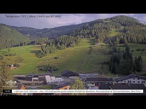 Live
LiveBad Kleinkirchheim Panorama
AT
 Live
LiveCarinthia Weather Panorama
AT
 Live
LiveCorona Coaster Sledding
AT
 Live
LiveEmbach Village
AT
 Live
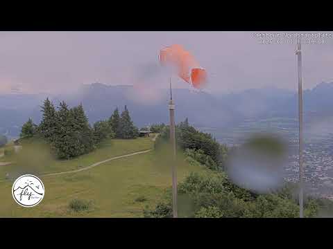
LiveFlyForFun, Gaisberg
AT
 Live
LiveHagerhof Thiersee
AT
 Live
LiveHaus des Meeres Atlantic Tunnel 1
AT
 Live
LiveHaus des Meeres Atlantic Tunnel 2
AT
 Live
LiveHaus des Meeres Dachkamera Ost
AT
 Live
LiveHaus des Meeres Dachkamera Süd
AT
 Live
LiveHaus des Meeres Dachkamera West
AT
 Live
LiveHaus des Meeres Shark Tank 1
AT
About webcams in Austria
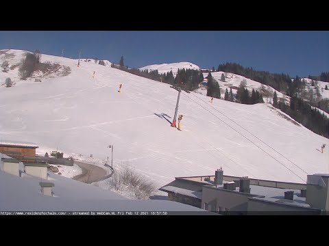
Austria's public webcams cluster where people need to know conditions before they go. In the west, the provincial road authorities operate mountain-pass cameras along the Arlberg, the Fern Pass and the Grossglockner High Alpine Road. These are checked daily by drivers deciding whether to fit chains, and they show snow depth, slush and visibility in real time. Weather stations, often run by the national meteorological service, add wind and temperature readings to the same picture. The cities form a second block. Vienna, Salzburg, Innsbruck and Graz have cameras fixed on main squares, bridges and riverbanks. They are not tourist toys; local broadcasters use them for live feeds of floods, storms or the first snow in the Altstadt. Some are attached to webcam platforms that let anyone pan and tilt, which turns them into informal city watches. Ski resorts are the third layer. Most lift companies in Tirol, Salzburg and Vorarlberg point cameras at their slopes and base stations, so you can judge whether a piste is busy or a summit is clear. In summer those same cameras pick up hikers and paragliders. Finally, scattered wildlife cams in national parks and private reserves show birds at feeders or deer in clearings. Coverage is densest in the west and along the Danube, thinner on the eastern plains. Expect a mix of static road views and lively urban scenes, all of which tell you what Austria looks like right now.